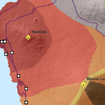
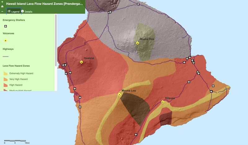
This web application shows lava flow hazard zones for the island of Hawaii as defined by the U.S. Geological Survey. Volcanoes, emergency shelters, and major highways are also shown.
Web App
Click here to view the webapp on ArcGIS.com.
This web application shows lava flow hazard zones for the island of Hawaii as defined by the U.S. Geological Survey. Volcanoes, emergency shelters, and major highways are also shown.
Click here to view the webapp on ArcGIS.com.