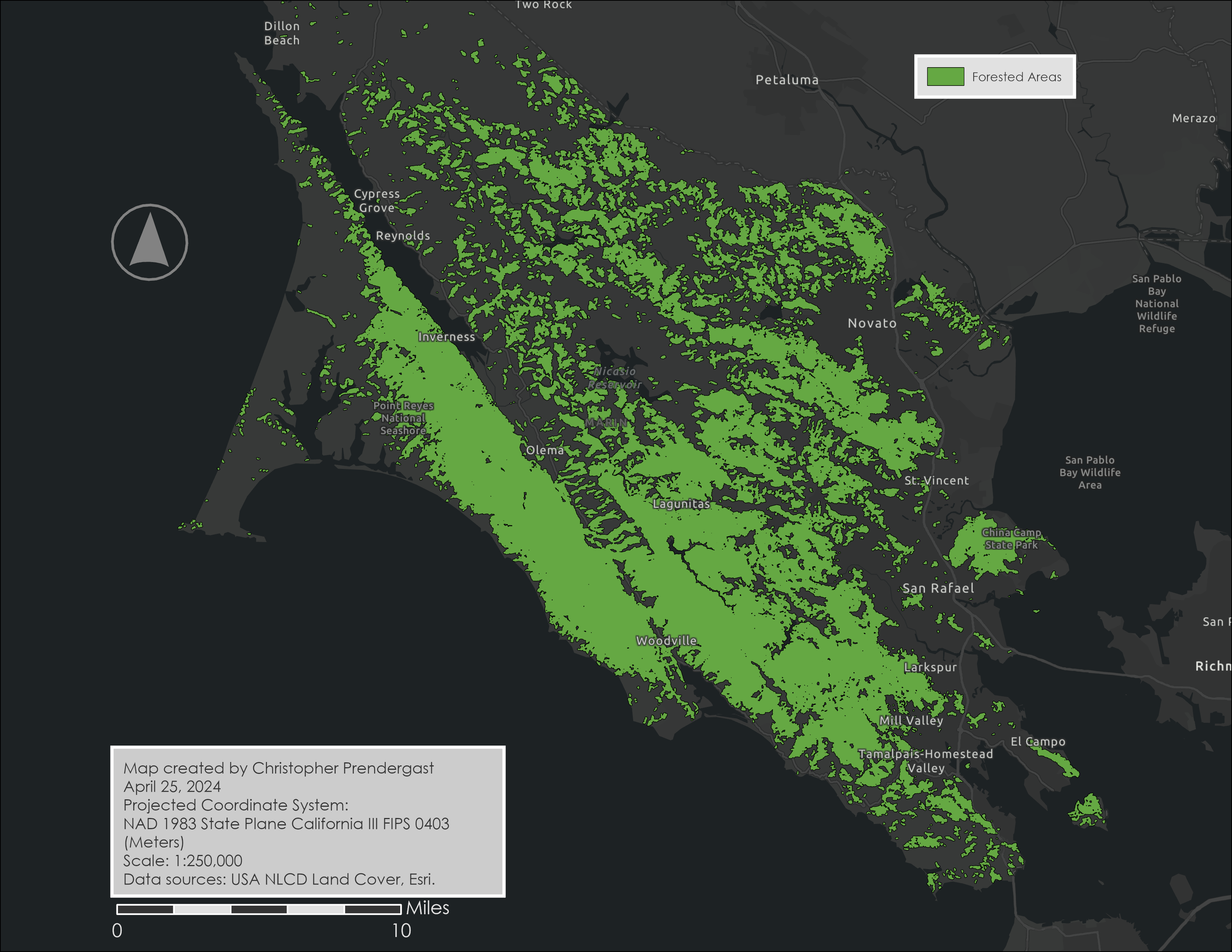
Marin Forested Areas
The Marin Forested Areas map shows the regions within Marin County that are covered by forest, highlighted in green. It provides a clear visual of where the forested areas are located, especially in the interior parts of the county, contrasted with developed areas along the eastern coast. This map helps community officials, emergency responders, and other stakeholders easily identify the forested zones that are most vulnerable during fire events, aiding in planning and resource allocation for fire prevention and preparedness efforts.
The map is derived from the National Land Cover Database (NLCD) layer from the ArcGIS Living Atlas. A raster function was applied to display only forest land cover and a polygon layer representing Marin County's forests was extracted.
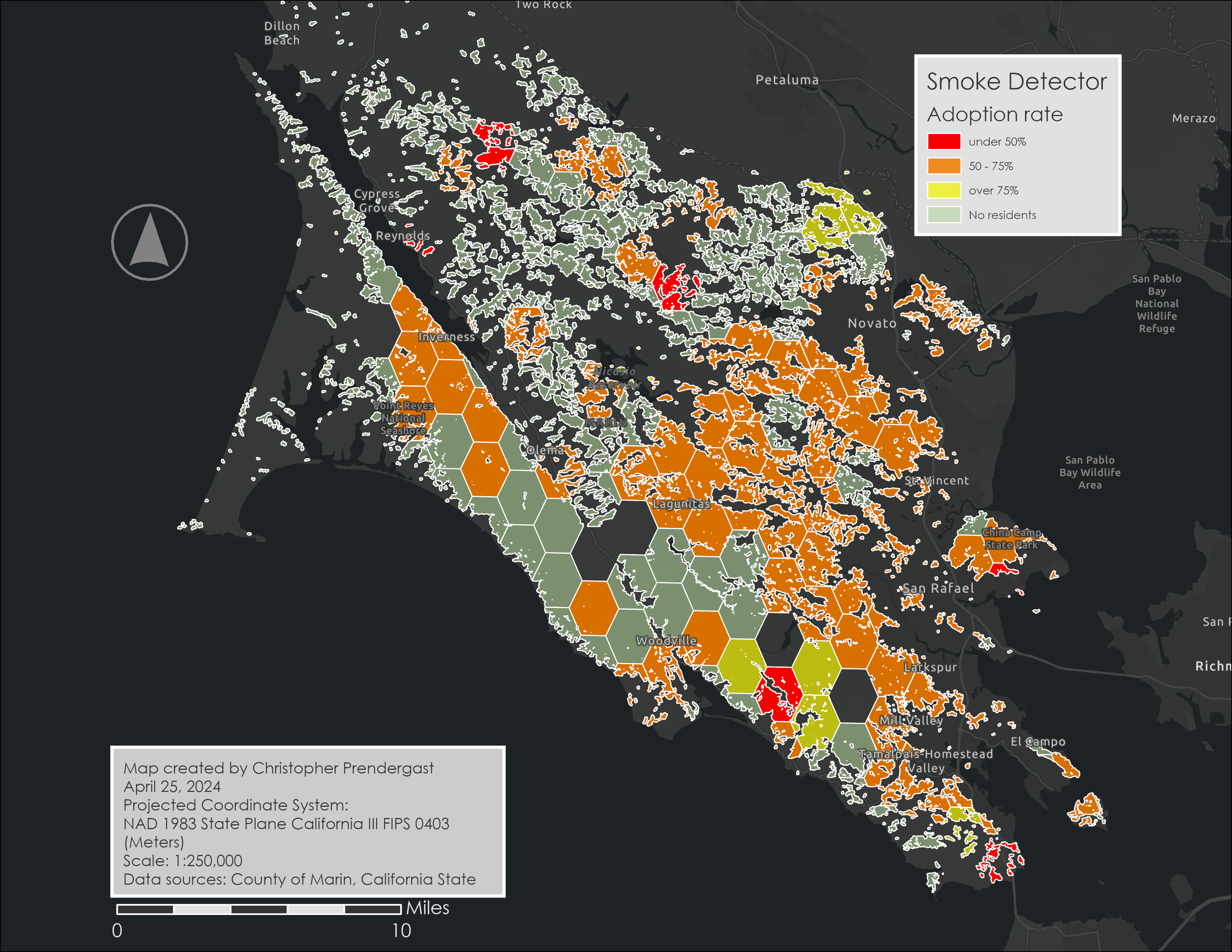
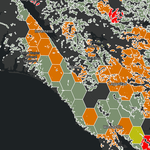
Smoke Detector Adoption
The Smoke Detector Adoption map helps Marin County officials see where residents are more or less likely to have smoke detectors in their homes. Areas with darker colors show fewer households with detectors, highlighting neighborhoods that may need more fire safety education or support. Conversely, lighter-colored areas indicate better coverage. This map provides a clear, visual way for officials to identify communities that might be at higher fire risk due to low smoke detector presence, enabling them to target their efforts more effectively.
The map shows the percentage of homes in forested areas that have smoke detectors using data from the ArcGIS GeoEnrichment Service.