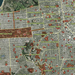
Interactive web applications were created to visualize urban green spaces in San Francisco and San Jose, incorporating neighborhood boundaries and park evaluation scores. Built with ArcGIS InstantApps, these maps allow users to zoom into neighborhoods and click on individual parks to view detailed information. The apps provide an accessible way to explore the distribution, accessibility, and quality of urban green spaces, supporting urban planning, research, and community engagement. Both interactive maps and static PDFs are available for reference.
San Francisco
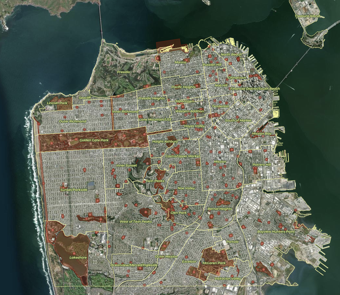
Click here to view the InstantApp of San Francisco urban green spaces on ArcGIS.com.
San Jose
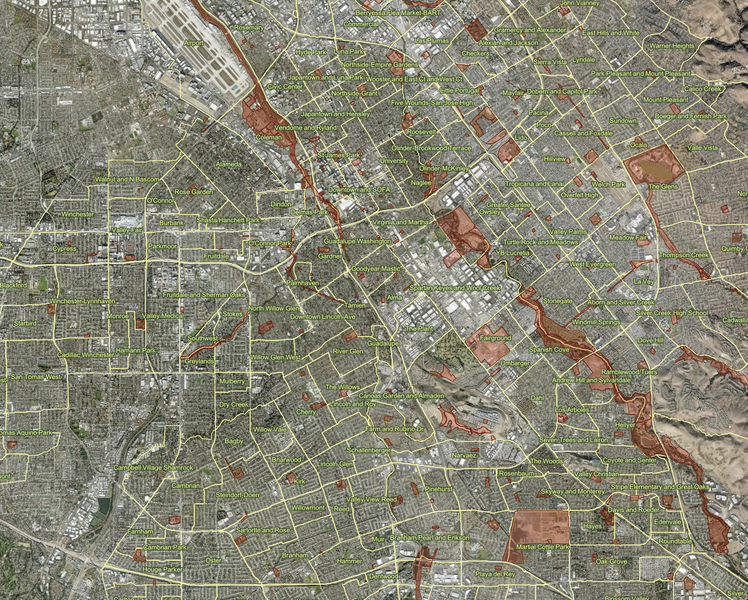
Click here to view the InstantApp of San Jose urban green spaces on ArcGIS.com.